Replying to @⁨Some_Emo_Chick@lemmy.world⁩

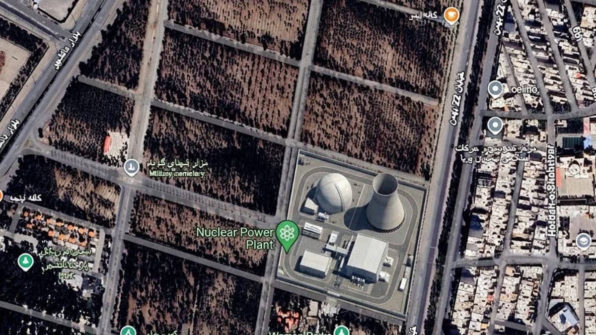
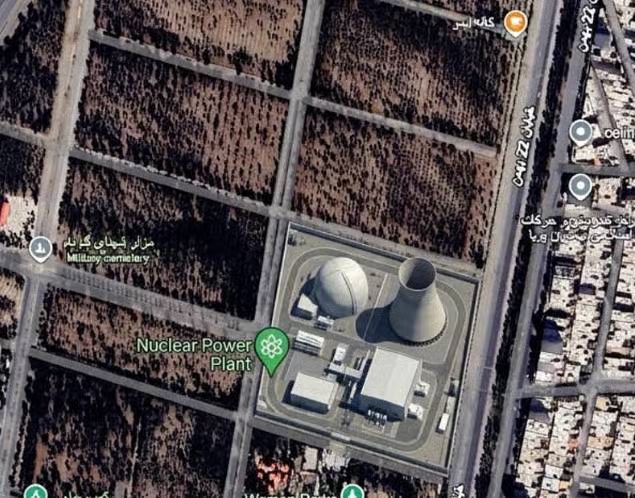
It’s worse than all that. I clicked on all the Xitter links so you wouldn’t have to, at the bottom is this post from this guy who was able to put a photorealistic image of a nuke plant in Iran, and a throng of migrants at the US-Mexican border, both of which didn’t exist in the source material:

digitaldigging.org/…/how-to-plant-a-nuclear-plant…

We know that this didn’t come out of a vacuum, this capability has been there and was only recently released to the public. We also know that this Administration is in very close with all the tech bros enshittifying everything, and they like to lie, especially about history.

So, now we know what the October Surprise before this election is going to be: the Administration is going to use fake satellite imagery to rile everyone up. We’ll be lucky if they don’t drop some nukes in the process…

www.digitaldigging.orgHow to plant a nuclear plant in IranThe question is: what on earth is Google doing?

Replying to @⁨dhork@lemmy.world⁩

photorealistic image of a nuke plan

“Photorealistic”. It seems a screenshot from SimCity 4

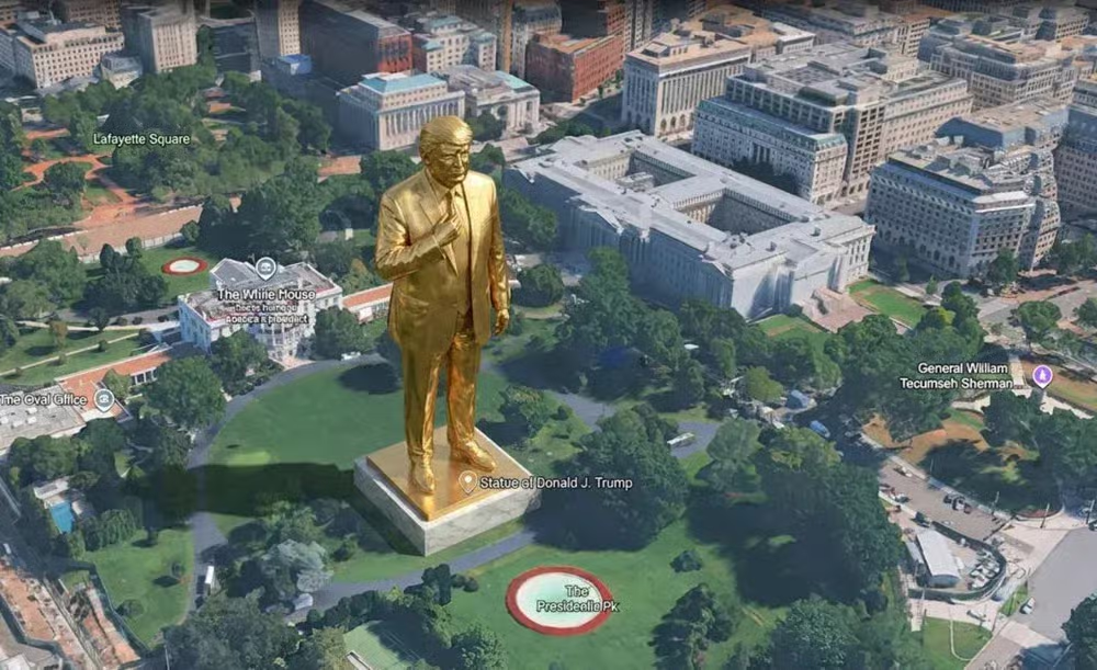
Same for the fake trump statue

Maybe the hallucinated text nearby the white house has a bit of truth? It says “The Whine House [something in Cyrillic] pederast”

And also the fake crater nearby the hospital in Gaza is blatantly fake: IRL there’s only the crater instead of the hospital as unfortunately all the patients and doctors were terrorists

Replying to @⁨terabyterex@lemmy.world⁩

I would prefer to have human generated images in all those cases, education needs to be accurate or it’s not worth it, I don’t want the AI interpreting what the pyramids used to look like I want a render based on archaeologists analysis. A new development will have a particular look, in order for the image to be useful it has to be an accurate representation of the building, an AI will just put something generic there.

Replying to @⁨terabyterex@lemmy.world⁩

There’s also a big push internally to add AI features to their products. I don’t think this was some shadowy push to discredit satellite imagery (to help Israel I guess?) - the more mundane explanation that this was a poorly conceived feature thought up by some team internally to meet business demands unfortunately rings far more likely to me.

Edit: I want to make it clear that I’m not defending Google or the team that made this feature here. This is awful, and they should have seen it coming. But falling into conspiracies and looking for the man behind the curtain just leads to overlooking the mundane people who just follow orders or fail to consider the impact and ethics of their actions. We can’t reach these people (or consider these lessons for ourselves) if we talk past them (especially if they dismiss criticism as coming from it off touch conspiratists).

Replying to @⁨Some_Emo_Chick@lemmy.world⁩

“Henk van Ess, for example, created extremely realistic deepfakes, including fake refugee camps along the US-Mexico border and a nuclear plant in Iran.”

I love how he instantly tried some of reasons the US government would want this thing to exist. Unfortunately I imagine the government would still be able to get access to it, so I expect to see news that Trump has posted loads of images of these same topics along with images of him wearing Space Marine armor and bringing the light of justice to brown people 'round the globe.

Replying to @⁨bold_atlas@lemmy.world⁩

They’re actually killing the PC version next year, which is actually a problem.

It’s the goto solution for sharing GIS layers for free using a simple platform. Anybody can download Google Earth Pro for free, and we can export KML/KMZ files from ESRI or QGIS that will be viewable over fairly recent satellite imagery without having to pay thousands for software and/or imagery licensing.

Replying to @⁨discocactus@lemmy.world⁩

I use QGIS for a living. Adding layers and image services is easy for me, but not to someone who doesn’t even know what GIS is. I couldn’t teach someone how to use it in seconds like I can GE, which consists of “Open Google Earth, and click and drag the file into the window”.

And with GE, you don’t have to license the satellite imagery or teach someone how to add web-based tile services to GQIS.

They can also use the draw tool in GE and right-click the drawing and export a file I can open in QGIS or ESRI without them having to know anything about projections or datums.