posted in Technology

Google Earth's new AI image generation function didn't survive a day after users deepfaked disasters

www.businessinsider.com/google-earth-nano-banana-gemini-ai-satellite-image-generation-function-2026-7
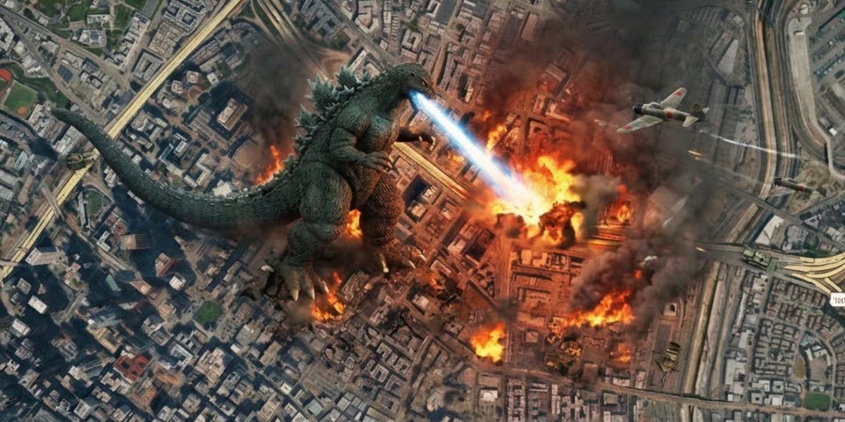
Business InsiderGoogle Earth's new AI image generation function didn't survive a day after users deepfaked disastersGoogle pulled its AI image-editing feature from Google Earth within 24 hours of its launch, after users created deepfakes depicting disasters.


Replying to @⁨bold_atlas@lemmy.world⁩

They’re actually killing the PC version next year, which is actually a problem.

It’s the goto solution for sharing GIS layers for free using a simple platform. Anybody can download Google Earth Pro for free, and we can export KML/KMZ files from ESRI or QGIS that will be viewable over fairly recent satellite imagery without having to pay thousands for software and/or imagery licensing.

Replying to @⁨discocactus@lemmy.world⁩

I use QGIS for a living. Adding layers and image services is easy for me, but not to someone who doesn’t even know what GIS is. I couldn’t teach someone how to use it in seconds like I can GE, which consists of “Open Google Earth, and click and drag the file into the window”.

And with GE, you don’t have to license the satellite imagery or teach someone how to add web-based tile services to GQIS.

They can also use the draw tool in GE and right-click the drawing and export a file I can open in QGIS or ESRI without them having to know anything about projections or datums.

Edited ⁨⁨Aug⁩ ⁨3⁩, ⁨2026⁩, ⁨14:58⁩⁩en